The Farrell Building Company Inc., which purchased the former Ridgeway Country Club in White Plains and has plans to build luxury homes on the 129.69-acre site is taking another step forward in the approval process by preparing a Final Environmental Impact Statement for the project. The White Plains Planning Board has concluded the public hearing phase in the review of the Draft Environmental Impact Statement (DEIS) that Farrell submitted.
Farrell is based in Brookhaven on Long Island and has become known for building high-quality luxury single-family homes while also branching out into multifamily developments as well as commercial projects. It purchased the former Ridgeway Country Club after the French-American School of New York tried unsuccessfully to create an educational campus on the site.
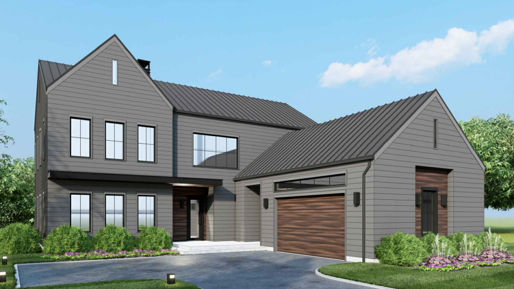
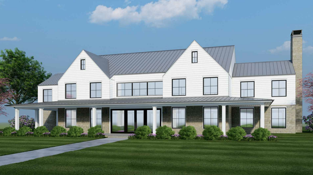
The proposed single-family subdivision lots would range in size from approximately 30,000 square feet to 49,000 square feet, which would accommodate homes varying in size from approximately 2,700 square feet to 6,700 square feet, including a mix of four and five bedrooms. The homes would be a maximum of two stories. The proposed homes would front along proposed new interior roadways. Each residential lot would contain a driveway, pool, and a two- to three-car garage.
The property extends from Bryant Avenue to Ridgeway and to the west of North Street. The developer had previously estimated that the project would generate approximately $1.38 million in annual property tax revenue for the City of White Plains and approximately $4.1 million in annual tax revenue for the White Plains Public School District.

Rendering of another proposed Farrell Estates residence.According to Diego Villareale of JMC Engineering, engineering consultant for the project, the overall property consists of four major sections; parcels A, B, C and D.
“Parcel A s 27 acres that consists of the existing clubhouse and the parking areas,” Villareale said. “Parcel B is 14 acres, which extends north toward Bryant Avenue. Parcel C then goes from Heatherbloom Road to Bryant Avenue and is approximately 15 acres in size and then parcel D, the largest parcel of the four, is approximately 72 acres and that really extends from Ridgeway all the way to Bryant and touches North Street as well near the high school driveway.”
Villareale said that a total of 105 lots would be created through the new subdivision. There would be 99 classified as residential lots and one lot would be the clubhouse that is on parcel A. He said that the other five lots would be open spaces that would be maintained in perpetuity by the homeowners’ association that would be developed for the property.
Parcel A would have 29 residential lots and the clubhouse lot. The clubhouse would be approximately 7,900 square feet in size, with a parking area having 20 spaces. there would be a swimming pool, tennis courts, and paddle tennis courts.
The lots were described as being relatively narrow and the houses somewhat close together. Villareale said that this was done intentionally so that more land could be kept as open space. He pointed out that the Planning Board has the discretion to adjust setbacks and other aspects of a layout in order to preserve certain environmentally sensitive sites and features. He said about 45% of parcel A would be maintained as permanent open space and there would be deed restrictions to prevent additional development.
“Parcel B consists of 16 lots, 15 residential and one open space lot that is being used for stormwater management purposes,” Villareale said. He said there would be 14 residential lots in parcel C.
“Parcel D … contains 45 residential lots. This is the parcel that contains the pond as well as a number of other wetlands on the property,” Villareale said, “The pond, the wetlands are all being preserved in an open space lot. There are no impacts being proposed directly to the wetlands themselves, Some disturbances would occur within wetland buffers, which would be in accordance with regulations.”
The new internal roads would provide access to the houses as well as connecting with the existing road network in the neighborhood. The developer contends that the new roadways will be residential in character and similar to the existing residential road network, making them undesirable to commercial and through traffic.
During the hearing on the DEIS, some local residents raised concerns about the proposed density, past flooding of the property, vehicular safety, and a perceived need to limit development in greener areas of the city.
“All of these comments will be forwarded to the developer and they will evaluate them and report back to us in the preparation of the Final Environmental Impact Statement,” Planning Board Chairman John Ioros said before the unanimous vote that closed the public hearing.