The Metropolitan Transportation Authority (MTA) on April 9 announced the Metro-North Hudson Line Climate Resilience Blueprint. It’s designed to protect Metro-North, especially the Hudson Line from the effects of climate change by through investments that will fortify the line against future stormwater runoff, tidal floods and other risks. The initiative will focus on a 20-mile stretch of tracks between Riverdale and Croton-Harmon that is vulnerable to the impacts of extreme weather.
The MTA will host the first in a series of open houses on the Blueprint on April 23 at the Hastings-on-Hudson Library from 5:30 p.m. to 7:00 p.m. In addition to providing a briefing on the project the MTA says it will want to hear thoughts from the public on why it’s important that the MTA make the Hudson Line resilient to climate change.

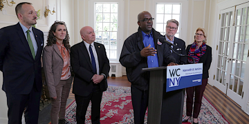
“Securing the next generation of great public transit along the Hudson Line means investing in infrastructure to protect Metro-North from climate change,” said MTA Construction and Development President Jamie Torres-Springer. “The Hudson Line Climate Resilience Blueprint will give us a clear path to make our service stronger and more reliable, and we’re excited to share our vision with the commuters who depend on it.”
Improvements to the Hudson Line as well as Metro-North’s Harlem and New Haven lines are to be paid for from MTA’s $68.4 billion Capital Plan to improve the region’s subways, buses, railroads, bridges, and tunnels over the next five years.
The MTA points out that the Hudson Line’s proximity to the Hudson River brings increasing flood risk. The agency says that more than 50% of this approximately 74-mile-long route is currently vulnerable to coastal surge risk during coastal storms like hurricanes. This number will grow to 80% by the 2050s as sea levels rise and coastal storms become more frequent and intense due to climate change.

The MTA says that there are more than 10 million Hudson Line riders per year as well as riders on Amtrak and freight deliveries carried by CSX over portions of the Hudson Line. The MTA says that by the 2050s nearly one-sixth of all Hudson Line tracks will be subject to monthly high tide flooding.
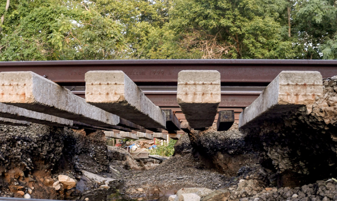
The MTA warns that the Hudson Line in low-lying areas with insufficient drainage or near riverine locations is vulnerable to flooding from torrential rain. The flooding can be difficult to clear depending on available pumps and existing stormwater management infrastructure. Floodwaters can weaken and damage culverts, embankments, ballast, and wood ties which are critical to track stability and safe and timely train operations.
On Oct. 21, 2023, the failure of a private retaining wall uphill of the Hudson Line brought over 350 cubic yards of soil and plants and 250 cubic yards of rock and cement wall debris tumbling down across all four tracks of the line. With tracks and third rail buried, Metro-North service was halted on the Hudson Line as was Amtrak service to Albany. After the retaining wall collapsed early on Saturday, crews worked around the clock to remove debris from the tracks and restore service by rush hour on Monday morning. From 2021 through 2023, MNR reported approximately 480 incidents of downed trees along the right-of-way.
The Mott Haven Yard, a nine-acre facility where the tracks for Metro-North’s Hudson, Harlem, and New Haven lines converge to handle trains into and out of Grand Central Terminal flooded at least 13 times between July 2016 and October 2023. While the level and duration of flooding, service impact, and damage to assets has varied, the frequency of flooding has increased, the MTA says.
Metro-North’s Harlem Line is approximately 82 miles long and has 38 stations.
The MTA says that the Harlem Line’s topography and low elevation increases its vulnerability to flooding during torrential rain events. Tropical Storm Ophelia on Sept. 29, 2023 resulted in a washout and damage to a signal cabinet, which houses the circuitry that controls signals. Tropical Storm Ida in early Sept. 2021 led to flooding, debris on track, and multiple washouts, including between Goldens Bridge and Purdy’s stations, Mount Kisco and Chappaqua stations, and Valhalla and Mount Pleasant stations. As storms become stronger and more frequent, the Harlem Line’s risk will increase, the MTA says.
The MTA also warns that sea level rise and torrential rain will impact the New Haven Line, which runs close to the Long Island Sound. The average elevation of the New Haven Line, which carried 23 million riders in 2022, is higher than that of the Hudson Line, so the risks are less acute, the MTA says.